-
Reliability
Transparency Service
-
Technology
Cutting-Edge Solutions
-
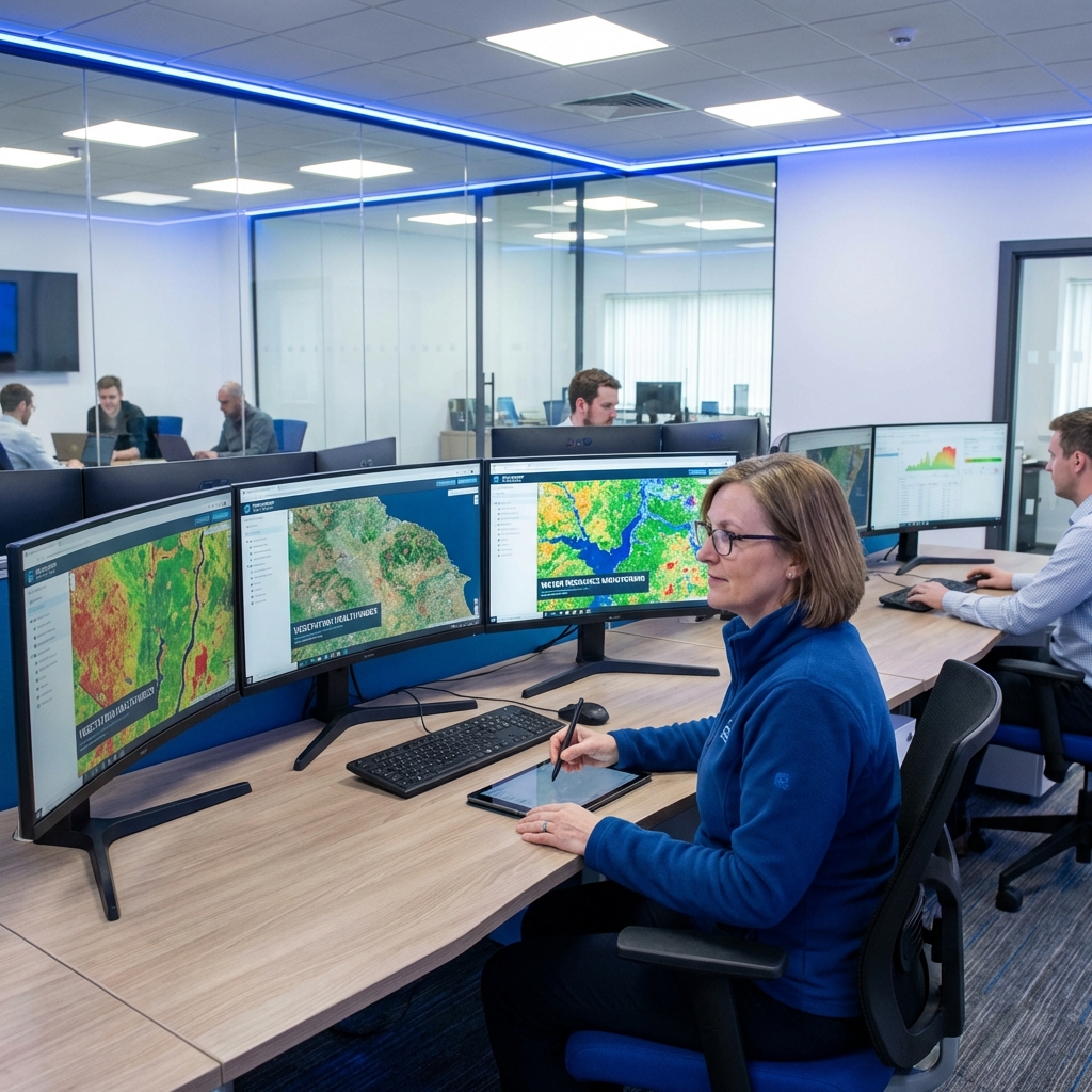
Expert Team
Trained & Expereinced
Our Services
Satellite Connectivity Solutions
Remote Sensing & GIS
Satellite imagery analysis and interpretation for environmental and urban planning.

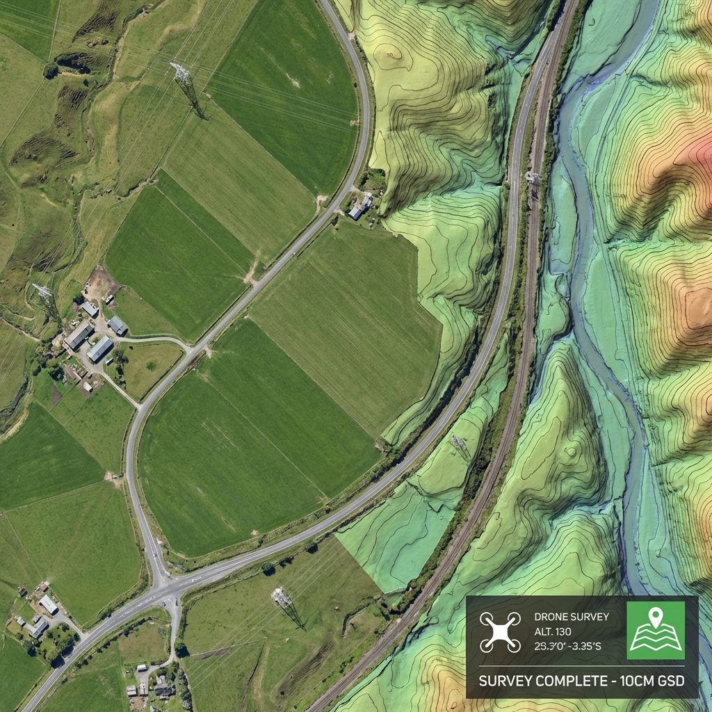
Survey & UAV Mapping
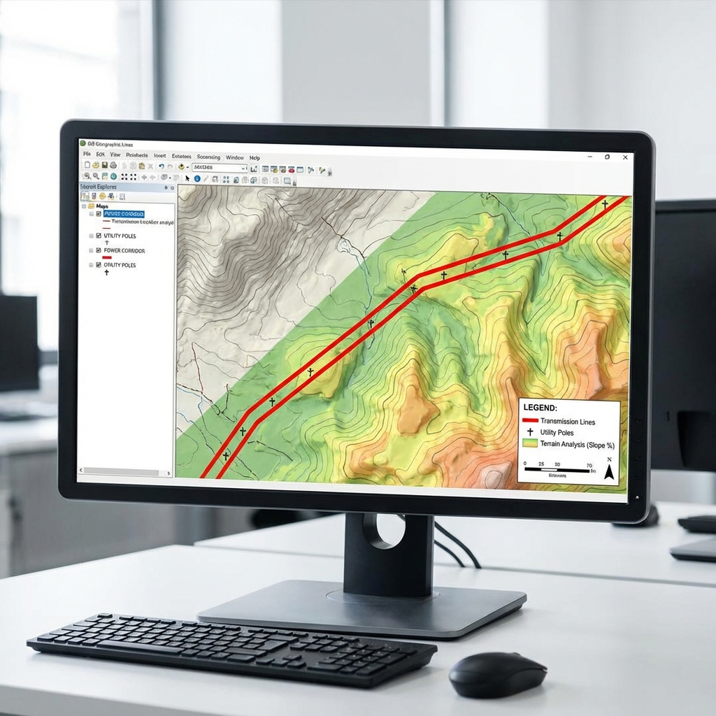
High-precision DGPS surveying, transmission corridor mapping, and drone-based aerial solutions.
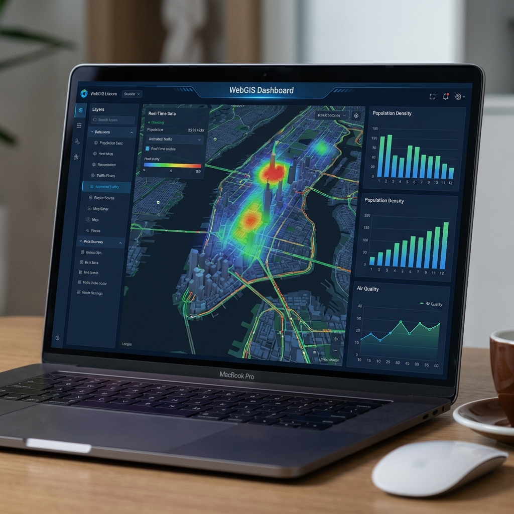
WebGIS & Solutions
Interactive web-based GIS systems, specialized training, and geospatial data services.

About Company
Premier Satellite
Communication Provider
“The goal of Spacetex Infoways is to provide you with excellent service & maintain your optimum satisfaction.”
Geospatial
Services
Comprehensive GIS and Remote Sensing solutions for planning.
- Remote Sensing
- Geospatial Database
- HRSI Photogrammetry
Survey &
Mapping
High-precision surveying with DGPS, UAV/UAS, and ETS technologies.
- DGPS & ETS Survey
- UAV/Drone Mapping
- Transmission Planning
Work Gallery
Recently Completed Works

Why Partner With Spacetex?
Reason For Choosing Us
01
Global Reliability
Unmatched uptime and consistent connectivity across the globe, ensuring your business never misses a beat.
02
Advanced Technology
Utilizing the latest LEO and GEO satellite constellations to deliver fiber-like speeds from space.
03
Expert Engineers
A dedicated team of aerospace and network engineers providing 24/7 support and monitoring.
Get Connected Today
Free Estimation
Fill out the form below to receive a customized quote for your satellite internet needs.
Common Questions & Answers
Get Detailed Answers
-
Q1. What are your data plans?
We offer flexible data plans ranging from 50GB to unlimited priority data for businesses. All plans come with high-speed low-latency access.
-
Q2. Do you offer global coverage?
Yes! Our LEO satellite constellation provides 100% global coverage, including remote oceanic and polar regions.
-
Q3. How do I install the equipment?
Installation is simple. We provide a complete kit with a pre-configured dish. Professional installation services are also available.
-
Q4. What affects signal quality?
Our advanced phased-array antennas automatically adjust to maintain a strong signal even in adverse weather conditions.
-
Q5. Is support available 24/7?
Absolutely. Our dedicated Network Operations Center (NOC) provides 24/7 technical support to ensure your connection stays online.
Our Work Process
How We Deliver Excellence

Discovery & Needs
We deeply understand your project requirements and objectives.

Analysis & Strategy
Our experts design a data-driven solution tailored to you.

Delivery & Results
We execute with precision and deliver actionable insights.